Desolate coastline, desert adapted elephants, pristine rivers, and spectacular water falls driving 3500 kms through the pristine African wilderness the next four weeks!
If we get through Heathrow Airport industriel actions this weekend :-(
We, father, mother with adult daughter and son, are heading for Namibia in southern Africa once again, with a small diversions into Botswana (Okavango Delta) and last pit stop in Zambia (Vic Falls). Afrika has turned into our family´s favorite destination. E.g. by now, I have had the pleasure and privilege of visiting sixteen different African countries.
 |
| Our daughter 10 years old in Namibia 2009, near Aus |
Why travel in Africa?
Why do we just love travelling in Africa? And why do we often include Namibia in the itinerary?
In brief, Namibia has huge areas of pristine wilderness with many national parks and conservancies including the world´s oldest dessert with plants and animals found nowhere else on earth. Also, it has little industry or pollution with the clearest stars you will ever see. Best of all, you can explore Namibia independently driving for hours through endless plains, huge mountain areas, canyons, dry riverbeds, and game parks.
Read further motivations for travelling in Africa in our previous blogs, use the links below. The previous postings are in Danish, but you can select English top right. This time, I will blog in English ("Danglish"). It´s not my native language, therefore, please bear with me.
- 2012 family trip to; Namib Desert, Kaokoland, Etosha, Okavango, Central Kalahari, Makgadikgadi, Moremi, Chope, and Vic Falls (link motivation)
Plans for this trip
We look forward to cover the estimated 3500 kilometers self-driving in a 4WD car from Windhoek in Namibia to Livingstone in Zambia, passing by Swakopmund, Skeleton Coast, Damaraland, Kaokoland, Kunene River, Etosha national Park, Caprivi Strip, and the Ogavango Delta.
 |
| First 1400 kms of the trip through north-western Namibia |
From Windhoek to Swakopmund and north along Skeleton Coast
Our journey starts in Namibias capital,
Windhoek. We head west out of the capital towards
Swakopmund, the second largest town in Namibia. "Swakop" is an old German´ish town which spreads from the mouth of the Swakop River into the surrounding desert. It´s often described as Namibia’s main seaside "resort", but it isn’t really commercial by any western standards.
After three nights and lots of activities in Swakop, we drive north along the coast all the way to
Terrace Bay, which is the last place you can reach by car (without special permission). Terrace Bay (and Restcamp) is described as a basic, but truly unique, amazingly isolated, desolate spot. From Swakop to Terrace Bay, we follow the shore of the South Atlantic Ocean along the remote and famous
Skeleton Coast, towards Kunene Region / Kaokoland. First, we pass through the section of coast known as the
National West Coast Tourist Recreation Area. The coast is described as desolate and barren but with evidence of life such as lichen fields, vegetated dune hummocks, insects, snakes, and jackals. Passing
Cape Cross, we expect to encounter an enormous breeding colony of Cape fur seals.
 |
| Trip 2009, Namibian coast just south of Lüderitz |
 |
Trip 2009, our children playing in the dunes
near Sandwich Harbour |
Driving into Damaraland
After a night in Terrace Bay restcamp, we head back for Torra Bay before heading inland into
Damaraland,
which is an semi-desert wilderness region famous for desert-adapted elephants and black rhinos, among others. Our destination is Palmwag Lodge, which is attractively located next to a palm-lined spring in the Uniab River. The river often flows with water drawing elephants close to the lodge.
 |
| Damaraland 2012, near Madisa Campsite |
Three days trekking expedition into Etendeka Mountains
After sleeping one night at the campsite at Palmwag Lodge, we trek into one of Namibia’s most remote and untouched wilderness areas
Etendeka Mountains which is twice the size of Denmark. We are followed by an expert guide from Etendeka Mountain Camp. Our first stop is River Camp, which should be a relatively easy two - three hours walk. Overlooking a waterhole,
River Camp is described as a simple bush camp with bucket showers and meals cooked over an open fire. We will be sleeping out on platforms under the vast Namibian night sky. After a night of stargazing and rest (if not to many animal sounds!), we will experience the longest day of the trekking expedition - with a walking distance of 15 to 20 kms. This long walk should be rewarded with stunning views from
Mountain Camp, which is located on the top (rim) of
Crystal Mountain overlooking an abundance of crystals and rare rock formations. In 2009, we had the rare pleasure of visiting Crystal Mountain with our two children and a guide from Etendeka Mountain Camp. That was an extraordinary experience. We really look forward to see this place again! Last time, we arrived in a Land Rover with some steep driving before reaching the rim. This time, we will have to work harder walking all the way from Palmwag to reach the place.
 |
Trip 2009, on the rim of Crystal Mountain, look forward
to sleep under the vast Namibian night sky |
 |
| Trip 2009, crystals and rare rock formations |
Opuwo, the administrative centre to Kaokoland
After our hopefully good trekking experience, we drive north along C43 towards
Opuwo, which is the administrative centre to Kaokoland. The name Opuwo was (according to Wiki) given by the commissioner of Ondangwa, who came in search of land to build an office. Upon his arrival, he asked local headmen to give him land where he could build an office. The headmen gave him a small plot, and when the headmen tried to give him more land, Mr. Hahn responded saying "
Opuwo (it’s enough for me).
I don’t want any more land". That should be how Opuwo got its name. Opuwo is also known for it´s
Himba population. This group of people is considered the last (semi) nomadic people of Namibia. In 2012, we met the Himbas in near Etaambura Camp near Orupempe, Kaokoland (
link)
 |
Trip to Kaokoland 2012; coffee beak in
dry river bed driving towards Opuwo |
Reaching Kunene and Epupa Falls
We will only stay one night in Opuwo Country Lodge, probably sleeping well after the long trekking expedition the previous days, before we head towards
Kunene River at
Epupa Falls. Kunene River is about 1,050 kilometres long and flows south from the highlands in Angola to the border with Namibia, then west along the border until it reaches the South Atlantic Ocean.
At Epupa Falls, we stay at Epupa Camp overlooking the Kunene River about 700 metres upstream from Epupa Falls. There should be a wide choice of activities in Epupa Camp, e.g. self-guided walking trails along the river, bird watching excursions, visit to nearby Himba village, and rafting excursions. By the Epupa Falls, the Cunene River is 0.5 km wide and drops in a series of waterfalls spread over 1.5 km, with the greatest single drop being 37 m. The name "Epupa" is a Herero word for "foam", in reference to the foam created by the falling water.
After two days at Epupa Falls, we plan to head along D3700, which follows the bank of Kunene River from Epupa towards Ruacana, to get to Kunene River Lodge about half way to Ruacana. Along the route, we pass the
Zebra Mountains. The 4x4 track is very famous and challenging, but we have heard it was upgraded recently thus perhaps not that challenging anymore - we will see. Under all circumstances, we expect to use a long day driving the 96 kilometers along Kunene River at slow speed. We hope to find another car heading in the same direction. Here is a nice description (scroll down) from another group driving the same way (
link).
Around Etosha National Park
Etosha means "Place of Mirages", "Land of Dry Water" or the "Great White Place". It´s an apparently endless pan of silvery-white sand, upon which dust-devils play and mirages blur the horizon. It´s also one of Africa's best game reserves. Especially, during the dry season, when huge herds of animals can be seen. We have had the pleasure of visiting Etosha twice before in 2009 and 2012 (
link). One of the more exciting moments was when our tyre exploded near a group of elephants! (
link) and when we had lions outside the tent at night (
link). We hope for no tyre explosions this time...
 |
| Etosha 2012, repairing an exploding tyre near elephants! |
 |
| Etosha 2012, son watching for elephants in the meantime |
Caprivi Strip, tropical surroundings
 |
| Last 2400 kms from Etosha to Victoria Falls |
After leaving Etosha, we drive north-east towards a peculiarly shaped stretch of land called the
Caprivi Strip. It defies any logical border definitions being sandwiched between Angola and Botswana and stretching towards borders of Zambia and Zimbabwe. It should be very different from the rest of Namibia as a tropical strip both fringed and crossed by wide rivers, including the
Zambezi,
Kavango (Okavango),
Chobe and
Linyanti. The national parks should have a good population of some of Africa’s iconic species as well as several species largely absent from the rest of the country, such as Cape buffalo, sable and roan antelope. Added to this is the opportunity to get out on a boat, an enjoyable and often welcome contrast to sitting in a 4WD. Read more about Caprivi at Expert Africa´s homepage (
link)
Okavango Delta, lush water-wilderness
From Capvi Strip, we take a deviation into
Botswana through Mohembo Border Control and through
Shakawe village to revisit the
Okavango Delta. The
Okavango River rises in the highlands of Angola and flows southeast into the Kalahari, where it spreads out into a delta formation. It covers over 15,000 km² with a lush water-wilderness of papyrus swamps, shallow reed-beds and floodplains, dotted with islands and laced with a network of channels. In 2012, we had the most extraordinary boat trip with Kubu Queen house boat - one of our absolute highlights in Africa (
link). This time, we head for Nxamaseri Island Lodge which stands on an island in the
Okavango Panhandle, north of the Delta, about 37km south of Shakawe village.
 |
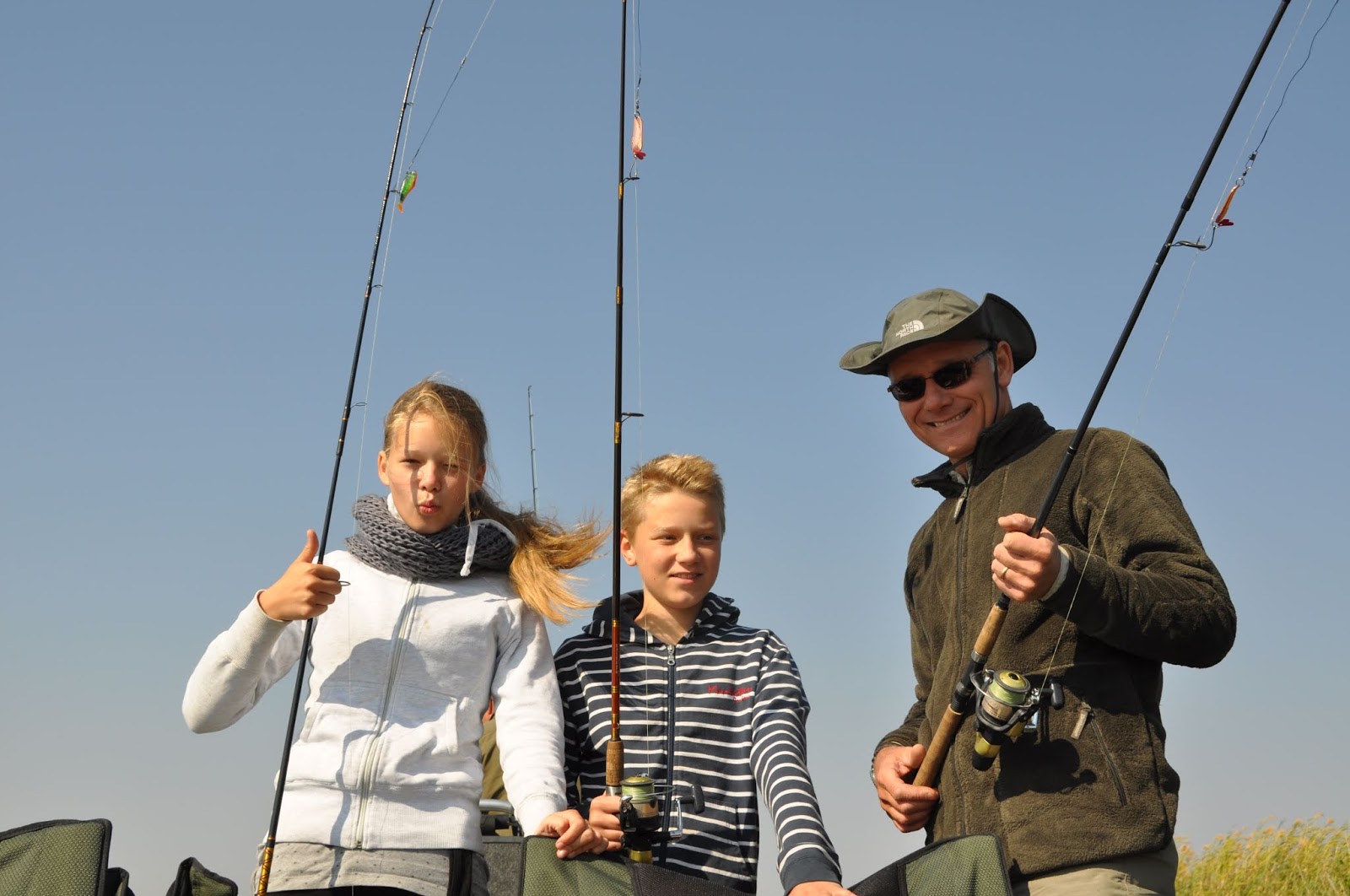
| Okavango 2012, gone fishing for tiger fish (link) |
 |
| Okavango 2012 |
 |
| Okavango 2012 |
Heading towards Livingstone and "the Smoke that Thunders"
Finally, we
Victoria Falls "the Smoke that Thunders". Victoria Falls were brought to the attention of the world in 1855 by Dr David Livingstone, who later famously commented:
"'scenes so lovely must have been gazed upon by angels in their flight".
The Falls are 1,688 m wide and average just over 100 m in height. Up to 750 million liters of water cascade over the lip every minute, making this one of the world’s greatest waterfalls. Closer inspection shows that this immense curtain of water is interrupted by small islands that sit right on the lip of the Falls, effectively splitting them into smaller waterfalls. In 2012, we had the pleasure of swimming in "
Devils Pool" on one of those small islands (
link). This must be the worlds most extreme place to swim! The family is voting against me about trying the pool again this year and threatening mutiny if I insist.
 |
| Victoria Falls 2012, daugther inspecting the falls from above (link) |
Self-driving in Namibia, why?
Why do we like self-driving in Namibia and surrounding countries? I found this Vimeo video (
link) that gives you a good impression of the experience self-driving in the dry parts of Namibia. However, we expect a different feeling driving along Kunene River and the Caprivi Strip, as this part of the country is very different from the rest of the country with images of lush green floodplains, herds of wildlife and ancient baobabs. Also, in Caprivi strip, we imagine to see many villages, goats, donkeys, and cows grazing by the roadside, and stalls sell everything from wooden carvings to fresh fruit.
You can also read more about self driving at the Expert Africa homepage (
link) And more about the road types (
link). Also, we appreciate the Bradt Guide by Chris McIntyre very much having tried most guide books for Southern Africa over the years (
link)